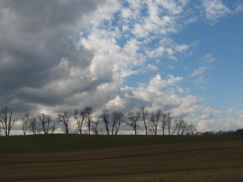
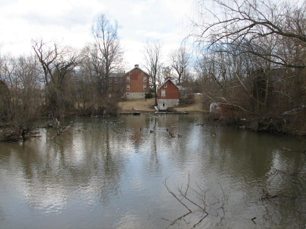
It was a stirring 33 degrees when I left home, headed initially for Frederick and Alternate Route 40 to Middletown, Boonsboro, and Funkstown. (Yes, these are all real places.) Although it was supposed to warm up and be sunny, and I had declared March 1st to be the unofficial first day of Spring, it sure looked like it was still winter. In addition, there were a suspicious number of dark clouds around, as seen in the left side here:
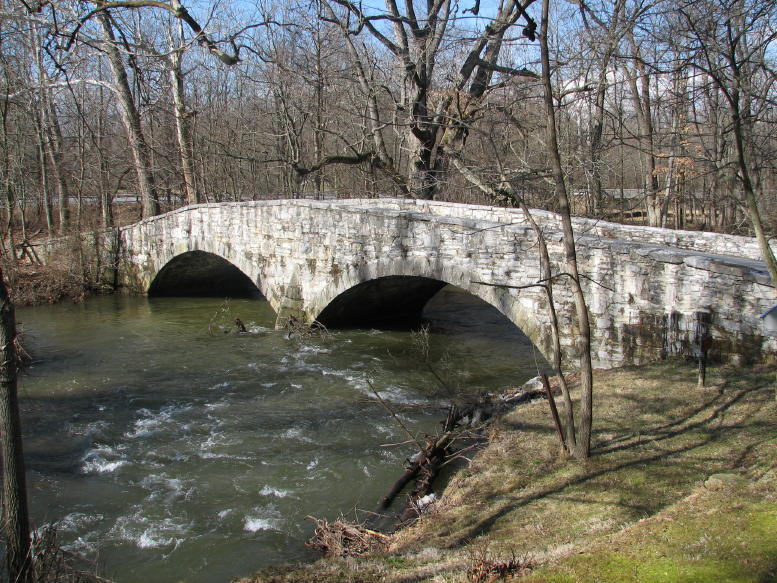
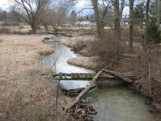
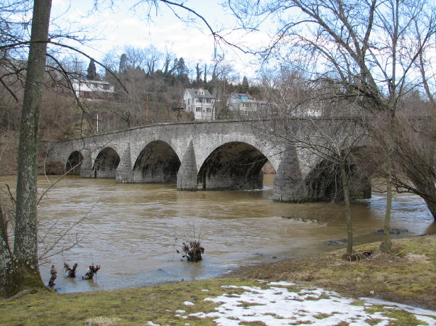
At Funkstown, I headed northeast toward Chewsville, then Leitersburg, and on into Pennsylvania. I first explored the East Branch of the Antietam a bit, and found this bridge over the stream not far (I think) from Waynesboro, PA:
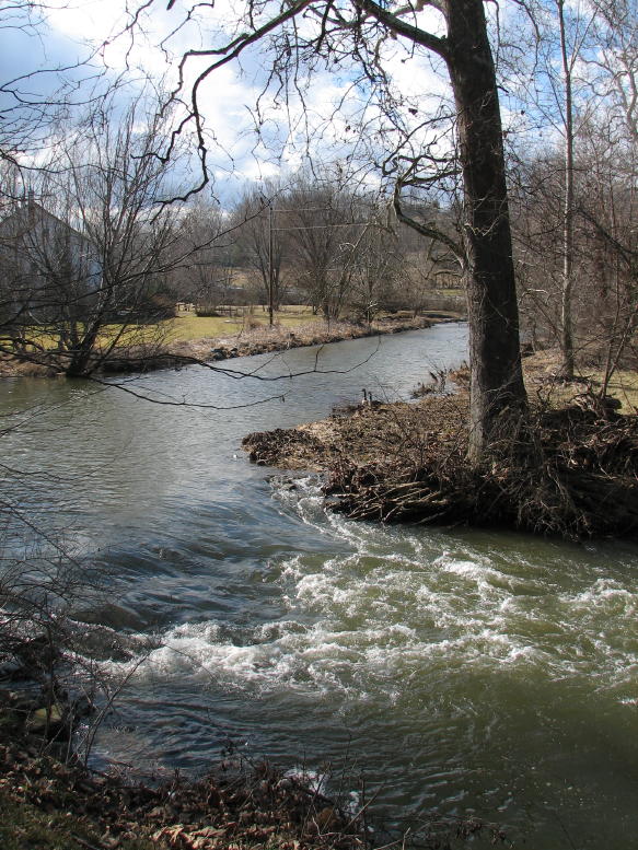
A little further upstream:
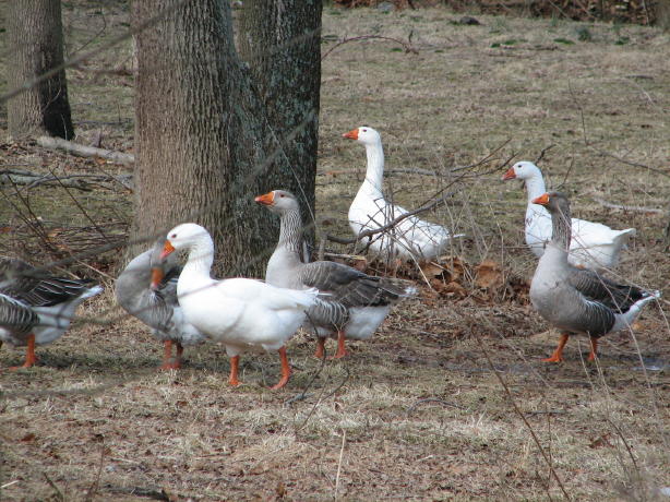
Backtracking, I located Iron Bridge Road and the confluence of East and West Branches of the Antietam. No Iron Bridge was in sight, but there were plenty of these guys:
Farther on, I missed a planned turn onto Marsh Road because of this pretty sight:
Then I got to wondering when this footbridge had last been used:
By now, my nice clear day had turned to a steady light rain, and I wasn't finding any of my intended roads. Eventually, between Marsh Road, Marsh Pike, Marsh Haven Lane, Leitersburg Road, Leiters Mill Road, and Leitersburg Pike, it dawned on me that I might just be well and truly lost. I pulled over here to ask directions, but there didn't seem to be anyone around for some reason:
After studying the Washington County map book for a while, I was headed back in the right direction. Eventually, I ended up on the long-sought Battletown Road. It was scenic and offered many views of a mildly flooded Antietam Creek--but there wasn't any sign whatsoever of the Lost City of Battletown. Using my keen powers of observation, I randomly decided that it must have once stood on the far side of the creek, right about here:
Heading on, I rode up Lehman's Mill road and actually found Lehman's Mill on the first try (although it was on the opposite side of the road than shown on the county map; or was I just going in the wrong direction on the right road??) I continued on in the rain, skirting around Hagerstown toward points west. I stopped by Hagerstown Speedway, to see what it looked like--it looked like a big, wet, muddy, dirt oval track--and then discovered Wilson Bridge over Conococheague Creek. It carried all the Route 40 traffic up until 1937. It was badly damaged by Hurricane Agnes in 1972--in fact, it was entirely under water!
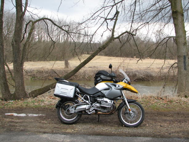
I kept on going, through Clear Spring and Indian Springs until Big Pool Road, which I took (naturally) towards Big Pool on the C & O Canal. Following along various dirt roads into the park, I began to encounter patches of snow and ice. Eventually, the road was completely covered with the stuff, but the GS handled it just fine (as long as I trundled along at no more than 0.6 mph, with both feet down!) Here's my faithful steed, parked next to an iced-over Big Pool in the background.

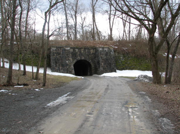
By now it was time to head home, so no opportunity to visit Fort Frederick right next to Big Pool--but I couldn't resist stopping very briefly at McCoy's Ferry. This is the tunnel leading under the train tracks into the park alongside the C & O Canal. I'd read that numerous fossils can be found here--but the only one I managed to locate during my brief stop was Yr Fthfl Srvnt! Next time...
By now, the rain had stopped, and I scooted back home by way of 56, 68 (the little one), Devil's Backbone Park, etc., for a roundtrip of 215 fun-if-slightly-wet miles. It was a terrific ride, and I'm thrilled that Spring has returned (more or less!)
Rick F.
PS--As always, if anyone is interested in the particular route, just let me know.