While I was tempted to ride my RT from Virginia, I really could not afford to take the time (and loss of wages) so we flew via San Francisco. We arrived in Anchorage late in the evening and then by car to Palmer, AK (about 50 miles NW) where my sister, Myrna, and her husband, Tony live. They are avid Harley riders and great riding companions. After a good nights sleep, we drove back to Anchorage to pick up the rental and then back to Palmer to load the bikes and start our trip. Since we had been to Alaska several times, we had already seen many of the standard sights, so this time we decided to stick with the southern part of the state (but not Southeast AK which you can't reach by road).
The first leg of the trip on June 19 was a relatively short ride on the Parks Highway (primary road to Denali Nat'l Pk and Fairbanks) to Talkeetna, AK, a small, quaint town on the Alaska Railroad that is primarily a tourist town. Some say that Talkeetna was the model for the TV show "Northern Exposure". This might be true, although I know that I have never seen moose wandering around. The primary attraction here seems to be a small airport where one can fly to the big mountain, Denali (aka Mt, McKinley) either as a plane-bound sightseerer or perhaps as a climber. On a previous trip we took this flight and did manage to land on a glacier there.
We stayed in the Chinook Winds Cabins shown here on the next morning as we getting ready to leave Talkeetna:
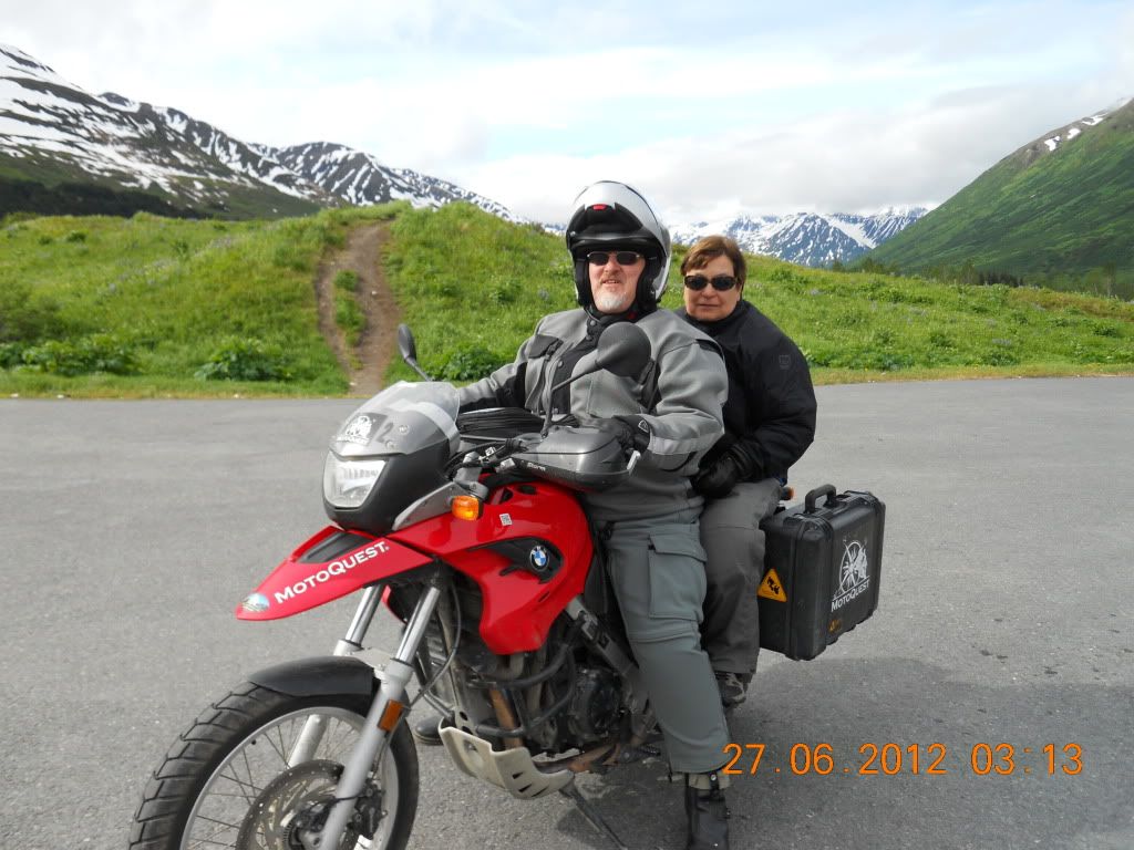
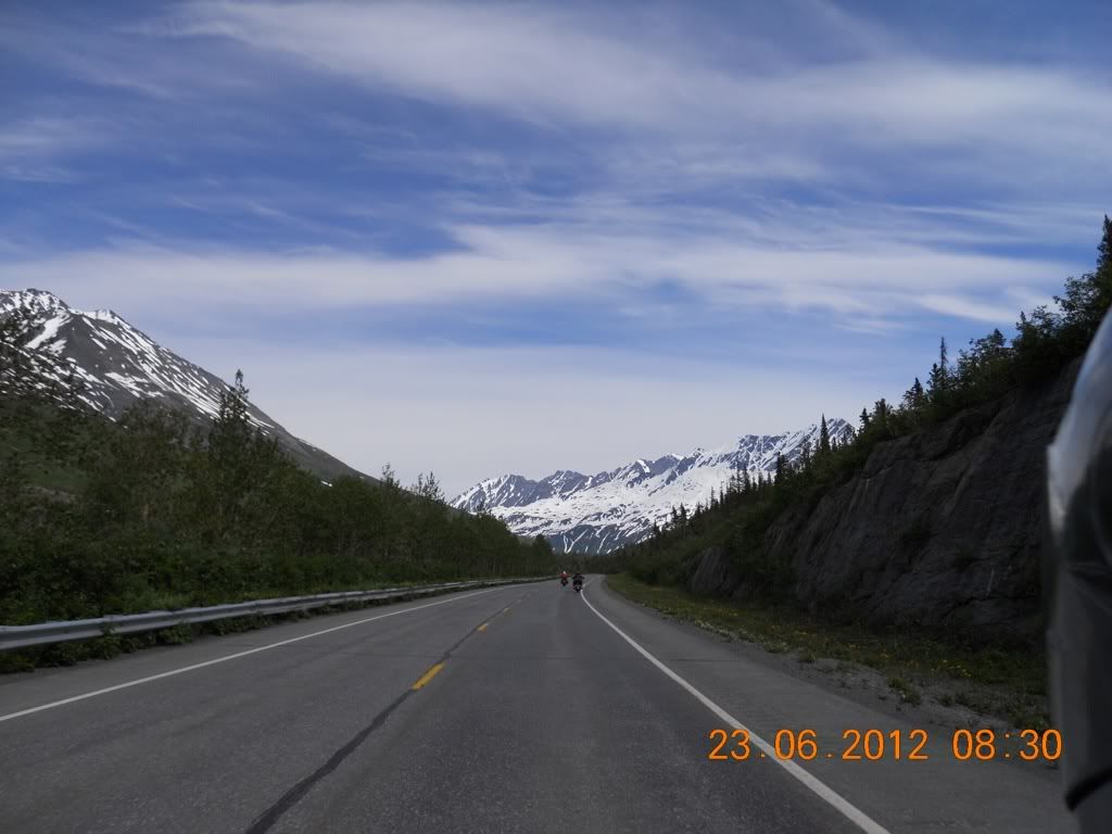
The next morning we had the typical enormous breakfast at the Roadhouse Cafe, and then set off back down the Parks Highway through Palmer and then onto the Glenn Highway to our second stop, the Sheep Mountain Lodge which is about 70 miles east of Palmer. On the way we ran into heavy rain for about the last 35 miles, but we also were treated to some spectacular scenery including the following (The date stamps are accurate, but the time is off. Need to add 8 hours):
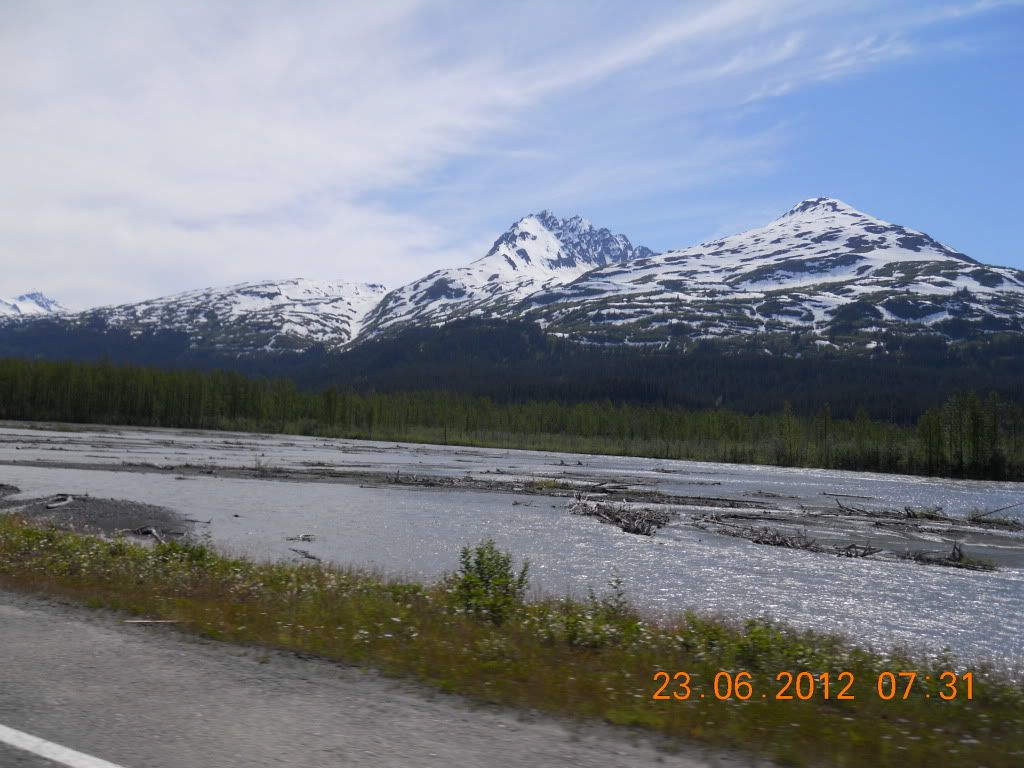
Matanuska River from the Glenn Highway (Stopped to don rain gear
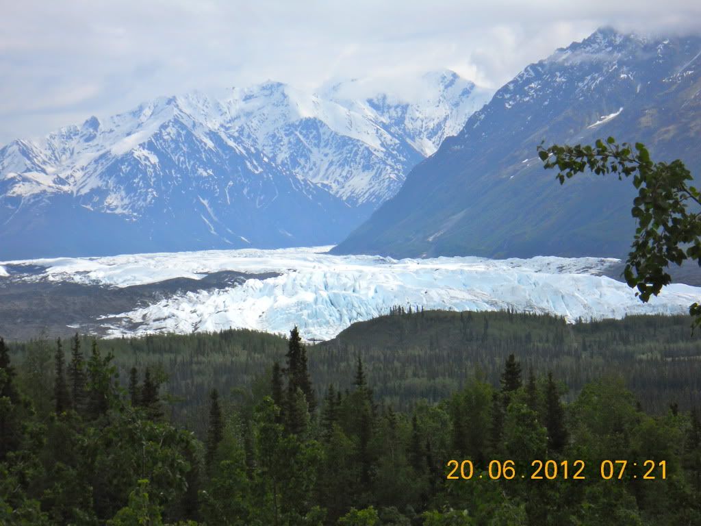
Matanuska Glacier from Glenn Highway. This glacier has easy access from the highway and lots of people climb on it (not me!)
Viewed looking south from the Sheep Mountain Lodge
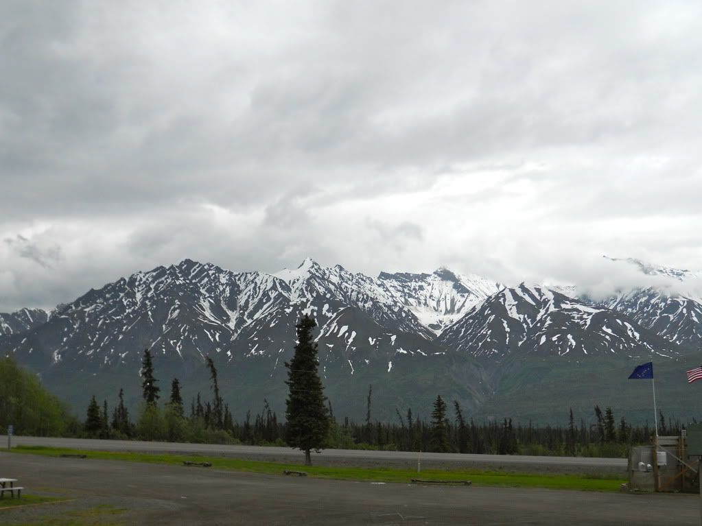
Another view from the lodge, this time looking west down the Glenn Highway
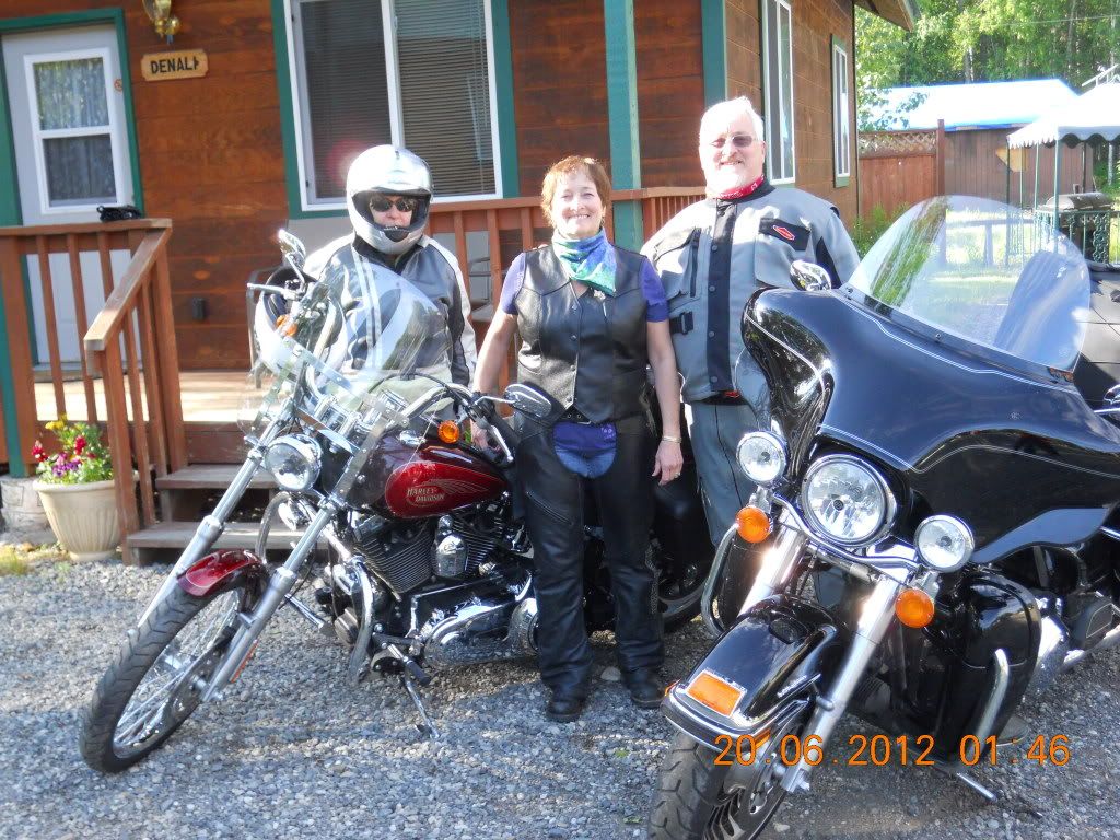
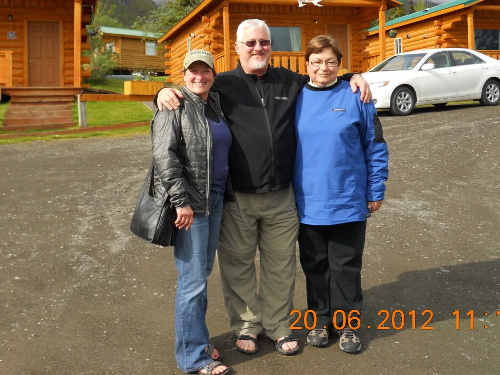
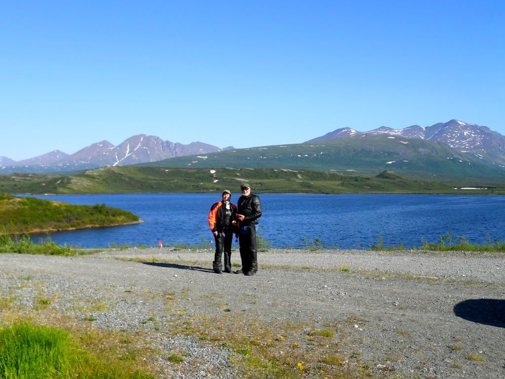
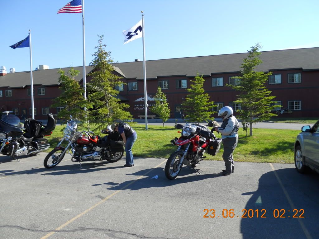
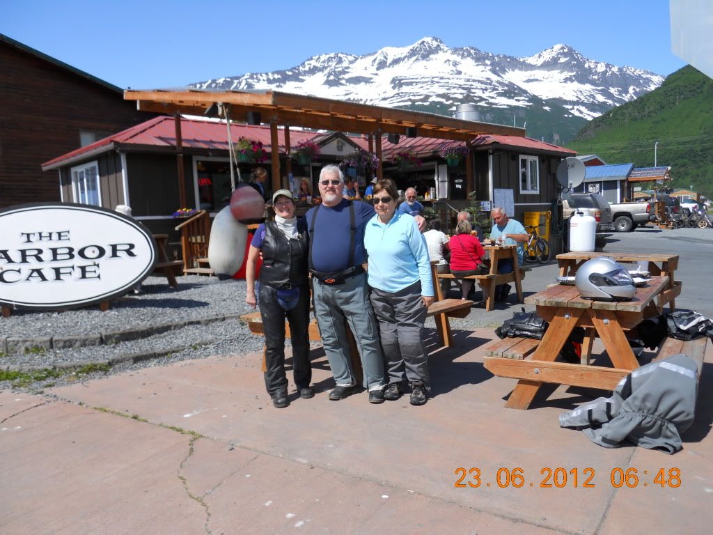
And this is most of the crew (Tony was photographer) in front of our cabin at the Sheep Mountain Lodge
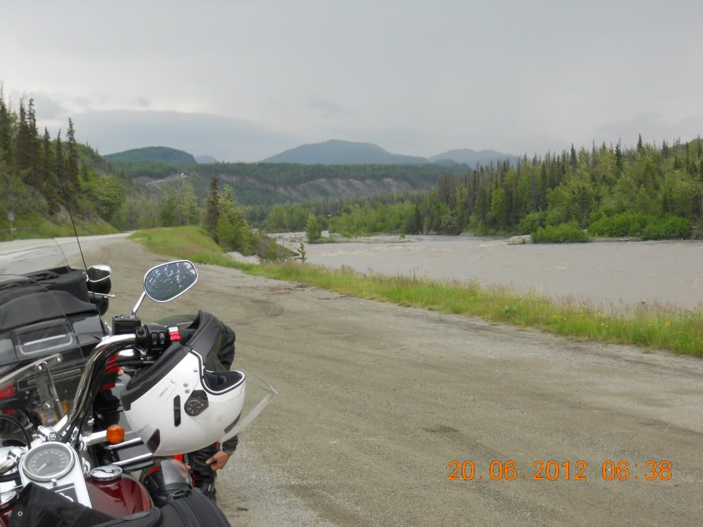
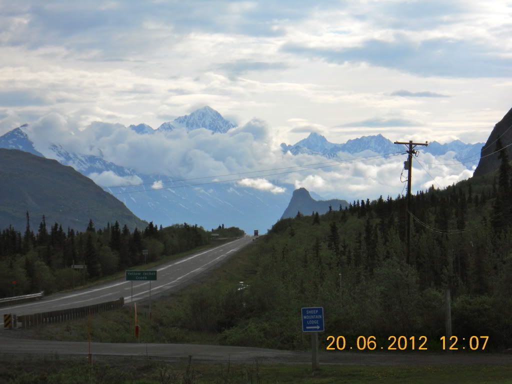
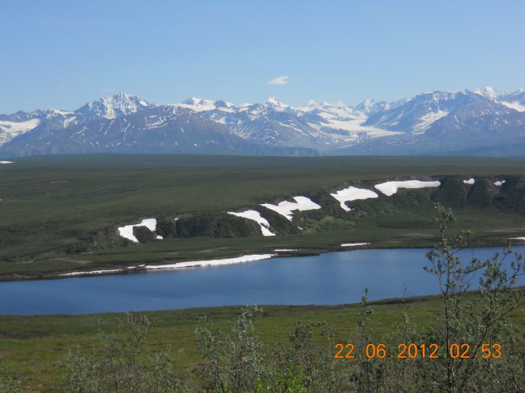
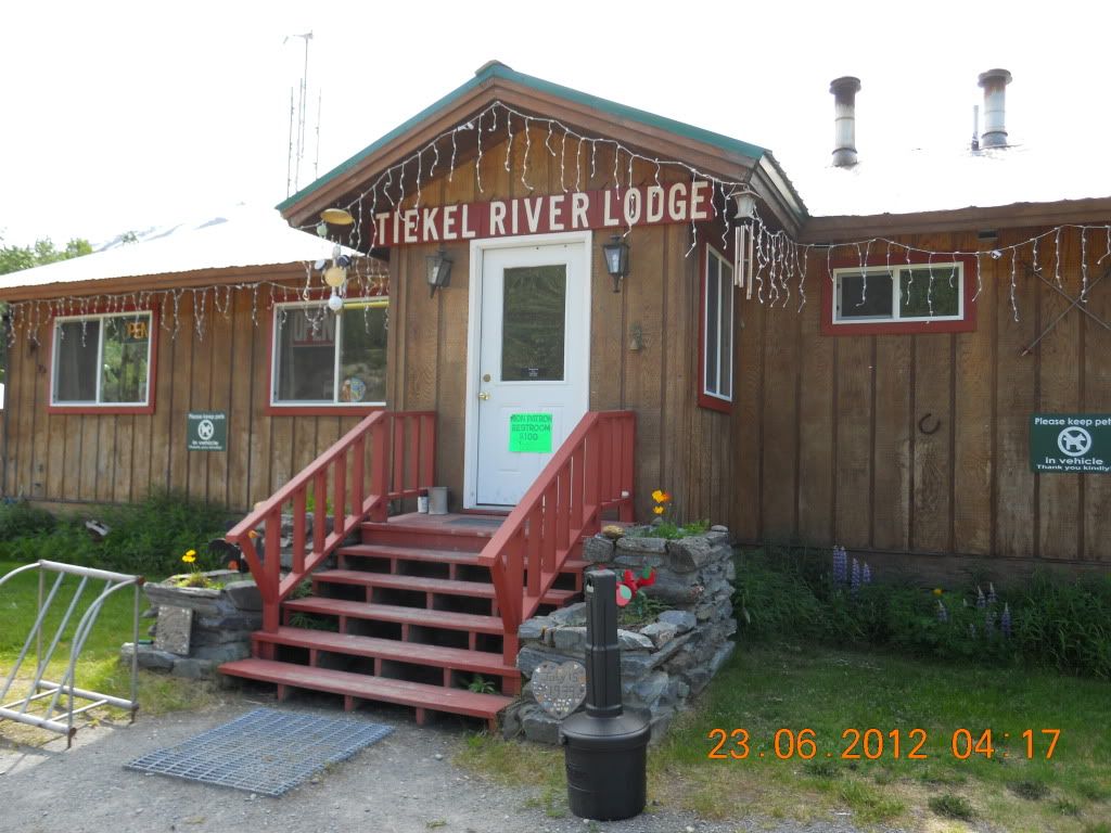
The next morning (June 21st, the Summer Solstice) we continue east on the Glenn Highway until it intersected the Richardson Highway near Glenallen (about 75 miles). The Richardson Highway was the original route into the interior and ran from Valdez on Prince William Sound (remember Exxon Valdez and all of the spilled oil) to Fairbanks. We turned north on the Richardson and drove another 75 miles to the intersection with the Denali Highway (Paxson AK), which was the original road to the Denali National Park (AKA Mt McKinley). This road start out as paved which ends 20 miles in with another 110 miles of gravel. But our destination was right at the end of the pavement at a somewhat rustic lodging called the Tangle River Inn (on the shores of Tangle Lake). This lodge is run by Naidine Johnson, who has the honor of having a nearby mountain named after her because of her continued support of the BLM (Bureau of Land Management) by providing lodging for their crews.
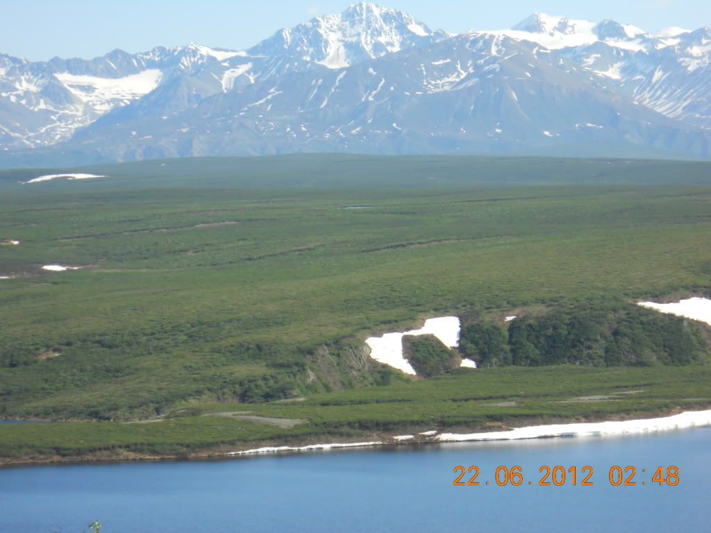
This is a view of the Tangle Lake from the parking lot of the Tangle River Inn at mile 20 on the Denali Highway
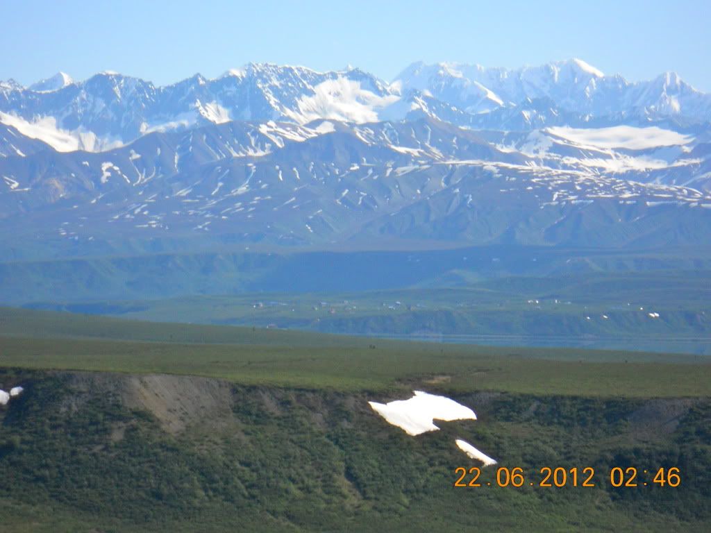
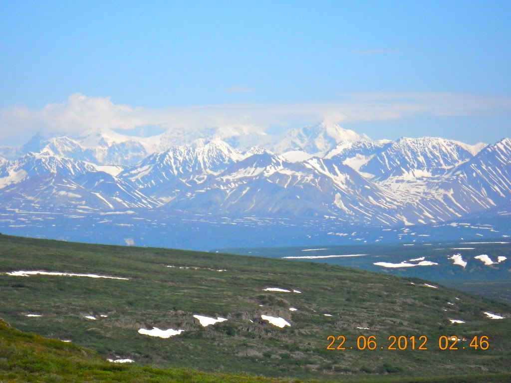
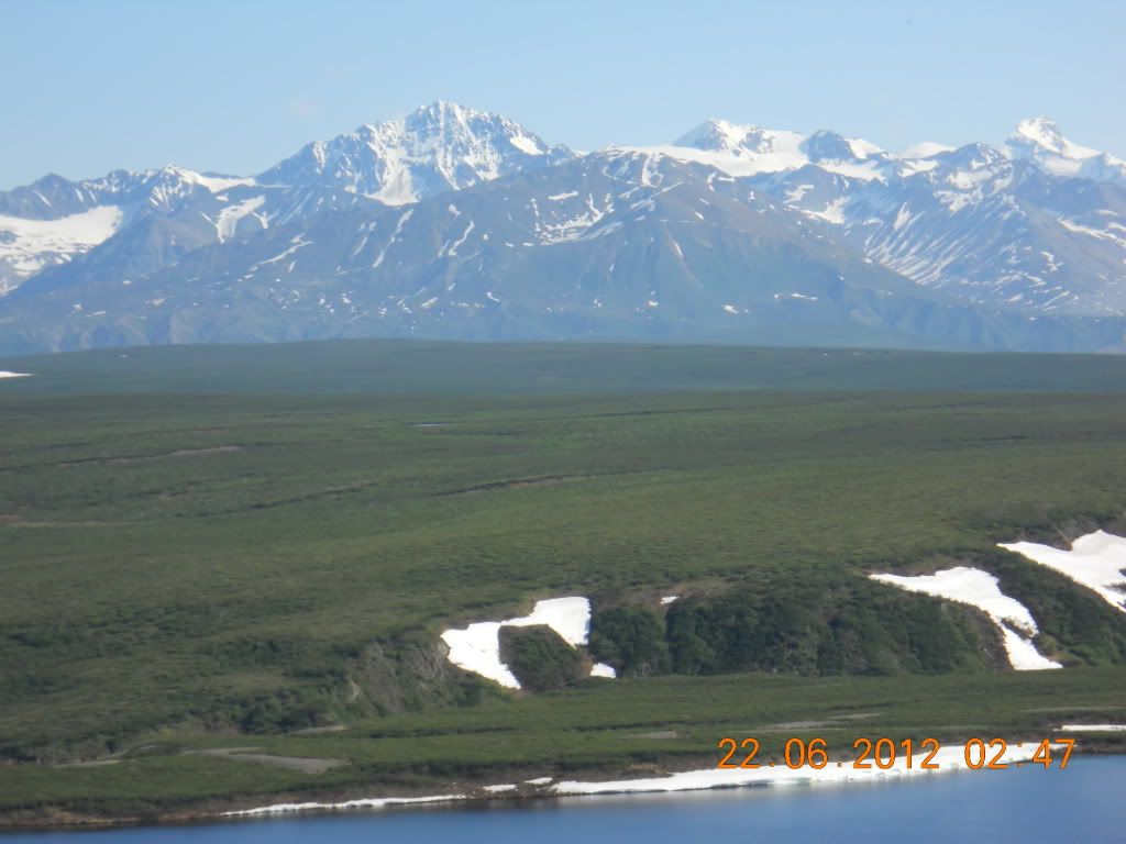
On the way back down the Denali Highway the next morning, we stopped to play in the snow (a few drifts at the edge of the highway) with a nice view of the Alaska Range in the distance (maybe 100+ miles to the North)
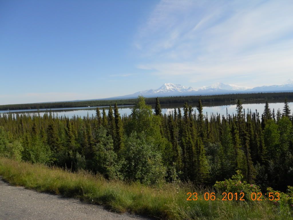
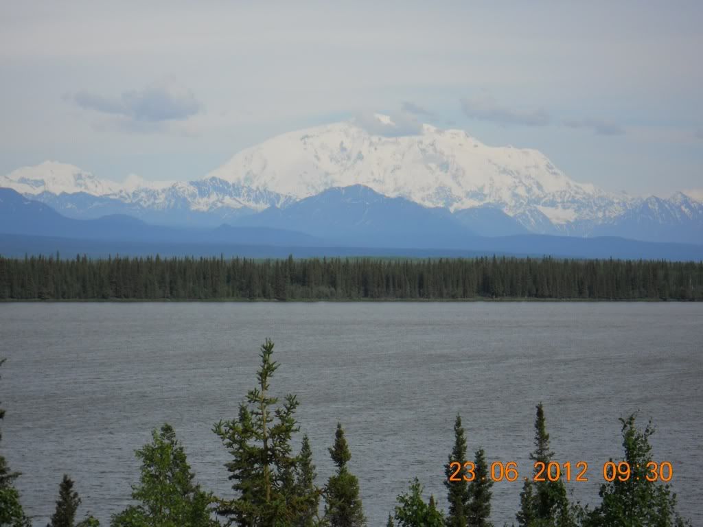
When we got back to Paxson, we turned back south down the Richardson heading for Copper Center. For the Salmon lovers (either for fishing or eating), this is the area when the famous Copper River Red Salmon comes from. Copper Center is a small town that is clearly having a hard time. The was a historic lodge here, the Copper Center Lodge, but it burned down a few months back. We stayed at the Copper Center Princess Lodge, which sits high on a hill overlooking the Copper River basin. (Princess is very big in Alaska -- probably the most common tourist hotels in Alaska that are very upscale, although we got very reasonable rates). We spent two nights at this lodge with a round trip to Valdez on June 23.
View of the Copper Center Princess Lodge as we packed up for our 200 mile RT to Valdez at the southern end of the Richardson Highway.
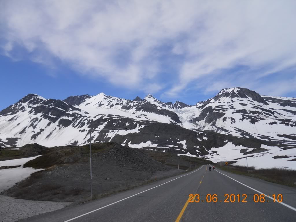
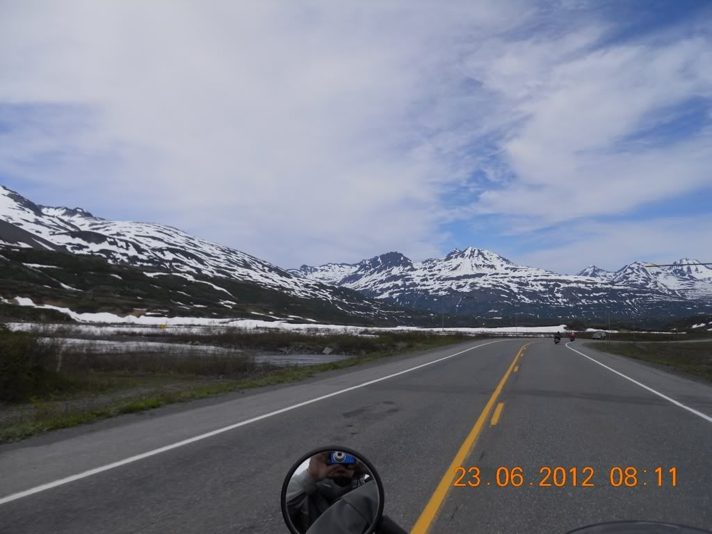
The trip to Valdez was not really to see Valdez -- it is just a fishing port and the end of the Aleskya pipeline, which carries oil from Prudhoe Bay to Valdez. Rather it is the ride itself. The part of the Richardson Highway goes by the eastern edge of the Wrangell-St. Elias National Park, the largest park in the US. This road is quite good with spectacular scenery. Most of the rest of the Wrangell park and preserve is GS country which is not suitable of HD cruisers (and me, even though I was on a 650 GS).
Typical view for the first part of the trip south towards Valdez. I believe that is Mt. Drum in the Wrangell Range. It is an extinct volcano
This is a lodge about 1/2 way to Valdez. We had to stop for coffee here (to avoid paying the bathroom service charge). This spot happened to be where we had our warmest weather for this Alaskan trip -- 80F.
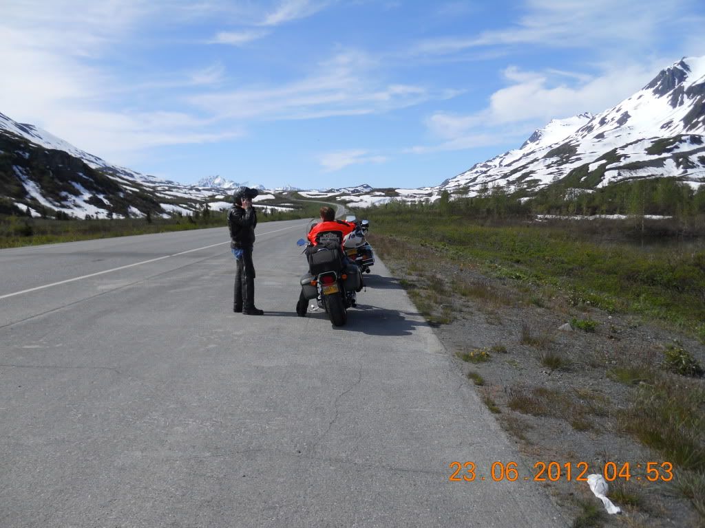
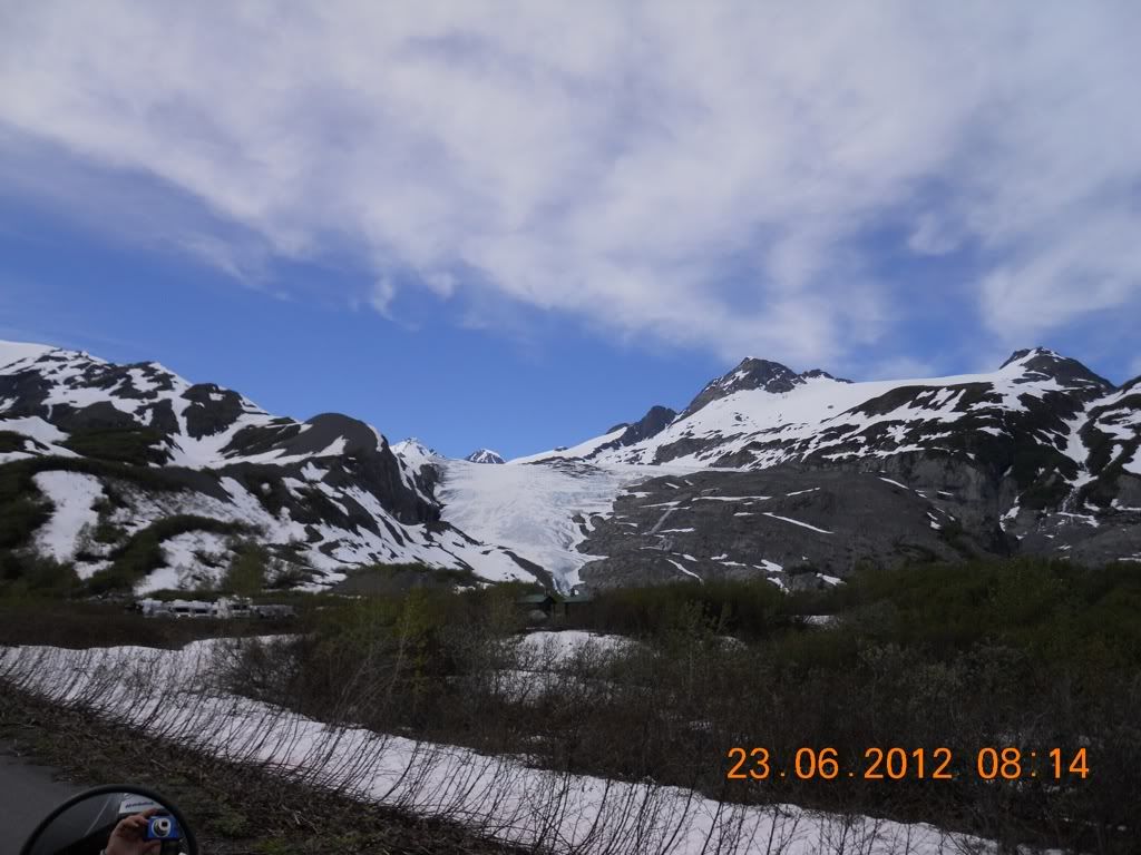
These are views from the highway near the Worthington Glacier. Myrna and Tony discussing the bike performance.
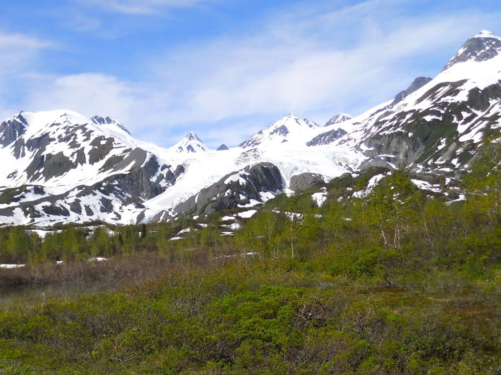
And this is a view of the glacier itself from the same spot
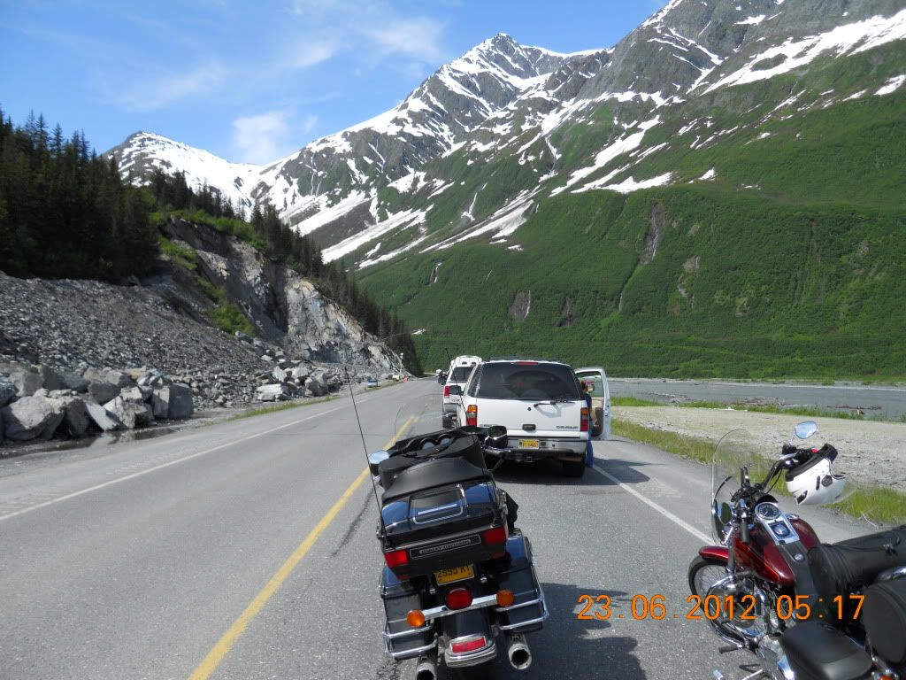
After going over the top of the pass, we had a very long decent leading to Valdez. At the bottom of the decent is Keystone Canyon, normally an interesting, twisty ride. However, this year the road through the canyon is being re-built so it was a lot of rough road and loose gravel. While this construction area was pretty dicey to ride, it had the advantage of allowing (or forcing ) us to ride very slowly through the canyon, which we took advantage on the way back north in order to get some good photo ops from the back seat on the bike. But first we had to get in line and wait for our escort to keep us all safe.
And here we are at the finest eating establishment in Valdez. I will have to admit that the halibut sandwich was quite good, but $18 per sandwich and the opportunity to eat at a picnic bench on sidewalk seems a bit pricey. It is not as if the fish was a rare commodity given that Valdez is a commercial fishing port. It is just part of the tourist area mentality, "They (us tourists) are just here as a once in a lifetime event, so we better get all we can since we won't see them again."
After lunch we did the return 106 mile trip back to Copper Center Princess Lodge. The high point of this part of the trip was Jane balancing on the back of the F650GS and snapping pictures on the fly.
15:31 This photo looks across the river that comes out of Keystone Canyon and was taken shortly after leaving Valdez. Notice that the river is quite high and in places is within about 12 - 24 inches of the road level. The following picture taken about 3 minutes later looks NE towards the canyon.
15:34
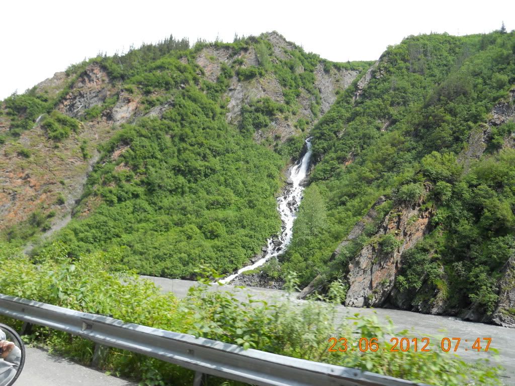
15:47 As we approached the canyon and river was narrower and faster and there were numerous waterfalls
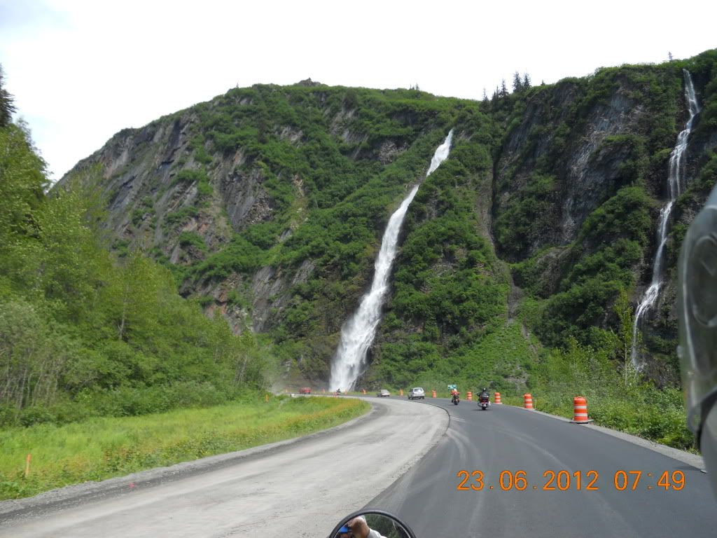
15:47 In the distance we see two waterfalls, the one on the left is Bridal Falls and was the prettiest of all.
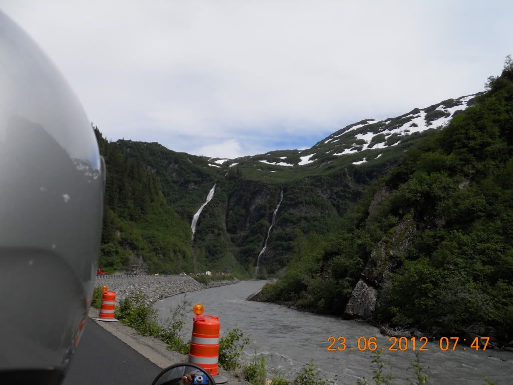
15:49 And now a good closeup of Bridal Falls (Jane likes waterfalls!!!)
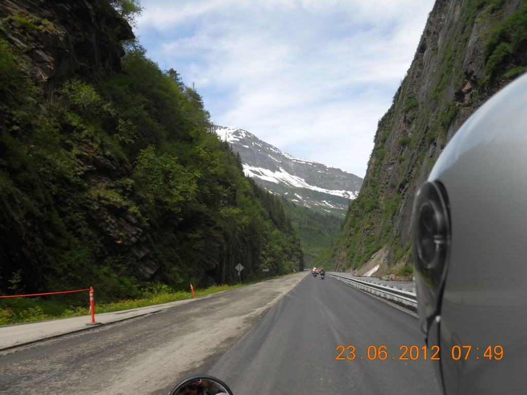
16:09 View down the canyon
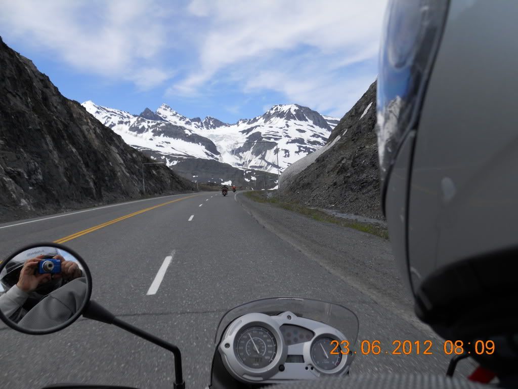
16:10 Finally got through the construction and back to real paved road. Directly above the road you can see the Worthington Glacier
16:11 View near the top of the pass
16:14 This is a closeup of the Worthington Glacier taken from a parking lot for those that want to hike to the glacier. That did not include us!
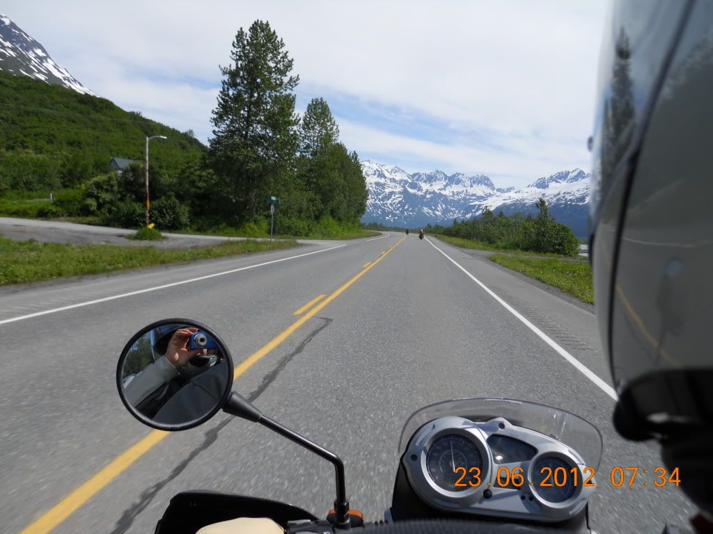
16:26 This photo and the two following are typical views looking down the road
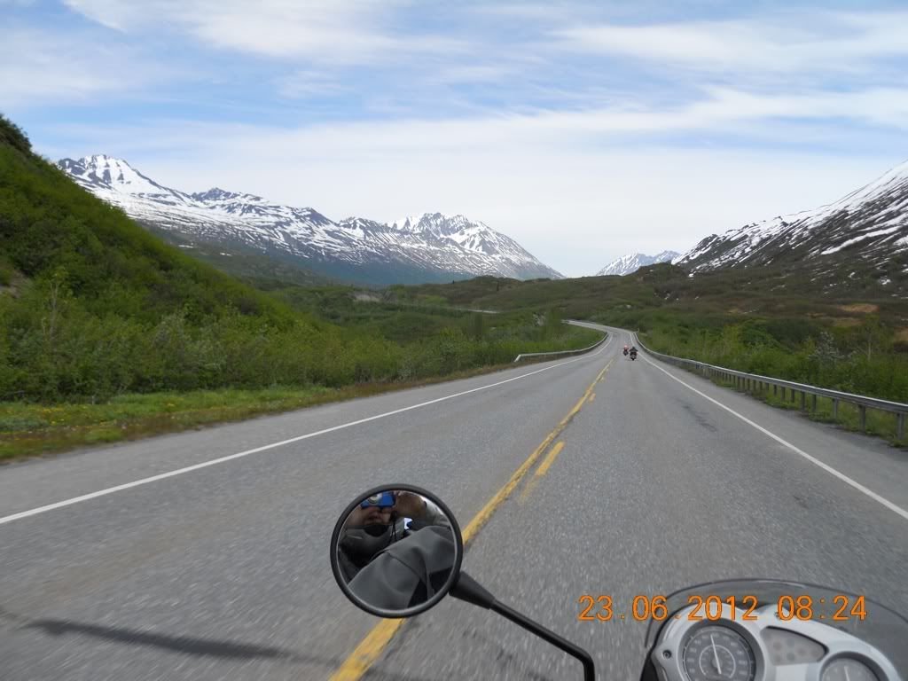
16:30
16:31

17:30 This final picture taken about an hour later near the end of the return ride to Copper Center Princess Lodge is another picture of Mt. Drum (I think). This completed the pictures for the seven day trip.
After this we returned to the hotel and the next morning doubled back to Glen Allen on the Richardson Highway about 20 miles and then down the Glenn Highway to Palmer. During this part of the trip we encountered a very strong cross wind that made riding 2-up difficult, especially in the gravelly construction areas. But I managed to stay upright and got home to Palmer without any incident.
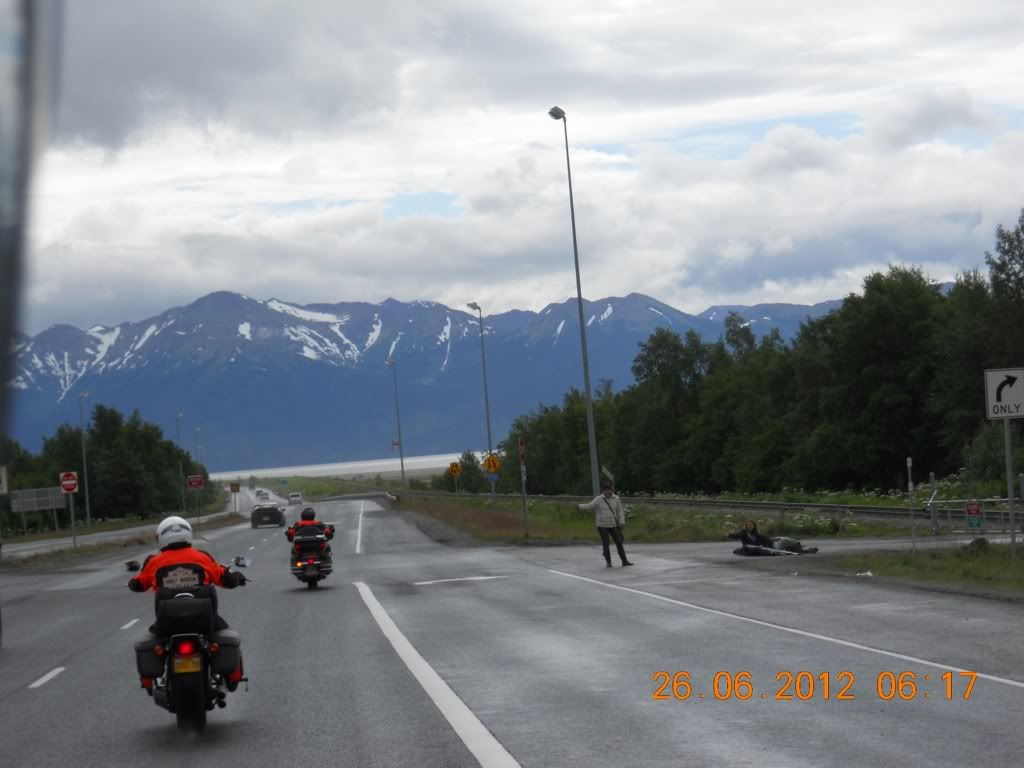
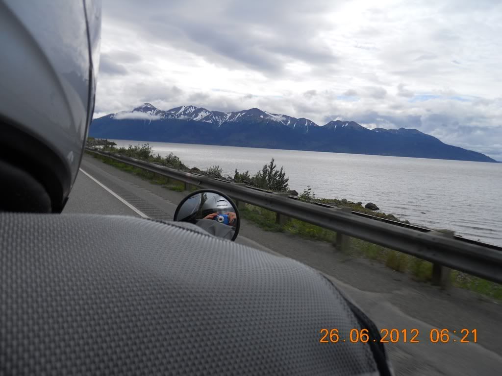
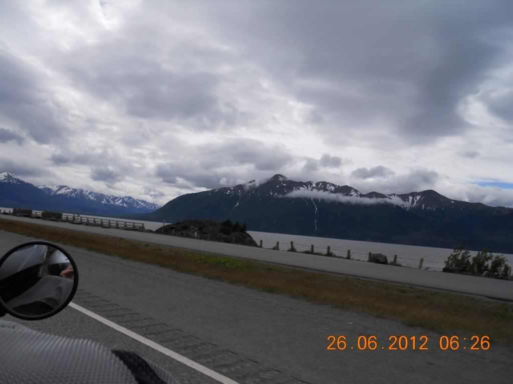
On 26 June we departed for a final overnight trip down the Seward Highway with a stay at the Summit Lake Lodge in Moose Pass The first part of the trip out of Anchorage goes along the north side of the Turnagain Arm of the Cook Inlet toward Girdwood, AK. This is a scenic drive as can be seen by the next five photos, although the drive is also one of the most dangerous drives in Alaska. But this is not because the road is not good -- it is actually excellent. Rather it is the traffic mixture that includes a high percentage of large RVs (mostly rental) driving by inexperienced RV drivers with the impatient sedan drivers that can't stand to have to stay within the speed limit. On this stretch of the highway Alaska has imposed a strictly enforced rule wherein a vehicle that has five or more trailing vehicles is required to pull over in the next pull-off to let the traffic by. But if you take the attitude that "I will get there when I get there" and relax, the drive can be a very satisfying experience. (At least that is my attitude.)
14:17 Just coming to Turnagain Arm.
14:21
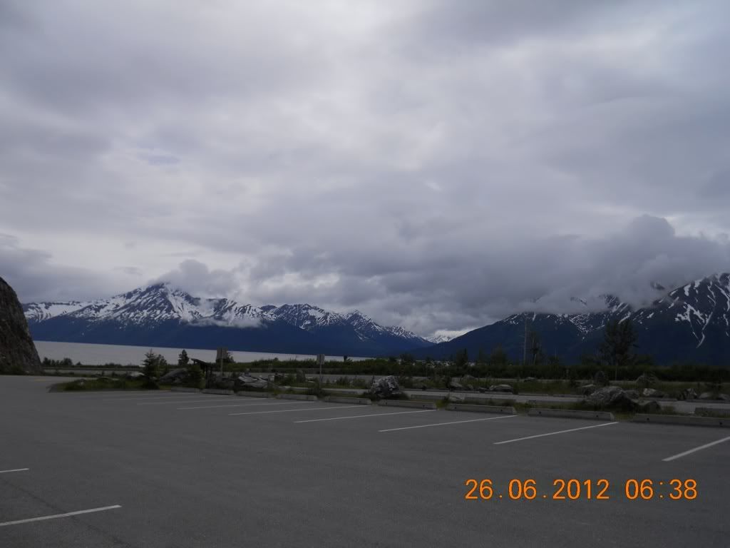
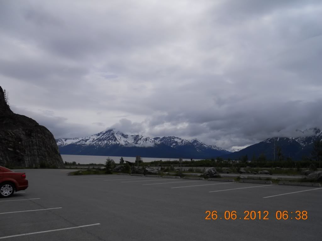
Taken from a parking area near Bird Point (a good hiking area, although it was closed at this time because a number of brown bears had moved into the area
14:26
14:38
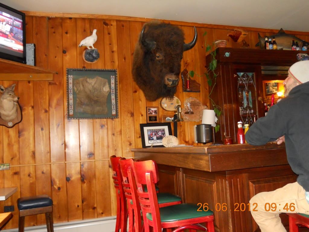
After Girdwood and the turn-off for the Portage Glacier, the road goes around the end of Turnagain Arm and heads back west for aways and then turns south to go over Moose Pass. Near the top of the pass is the very pretty Summit Lake and Lodge. I did not get any pictures of the lake but I did get a great picture of the Lodge bar:
17:46
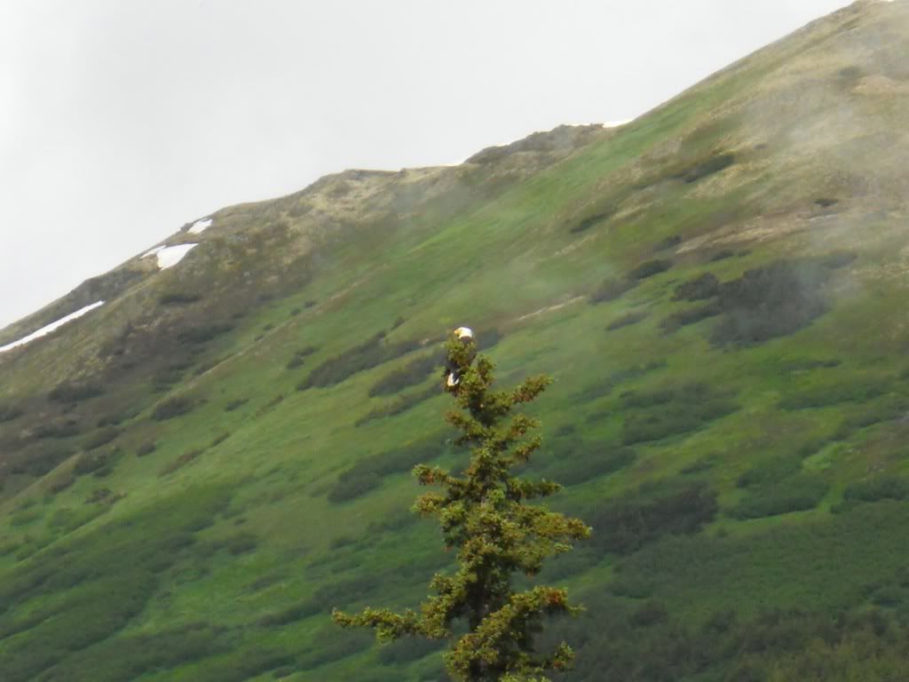
The next morning I got my one picture of Alaskan wildlife, a bald eagle perched on the top of a spruce tree right in front of the lodge
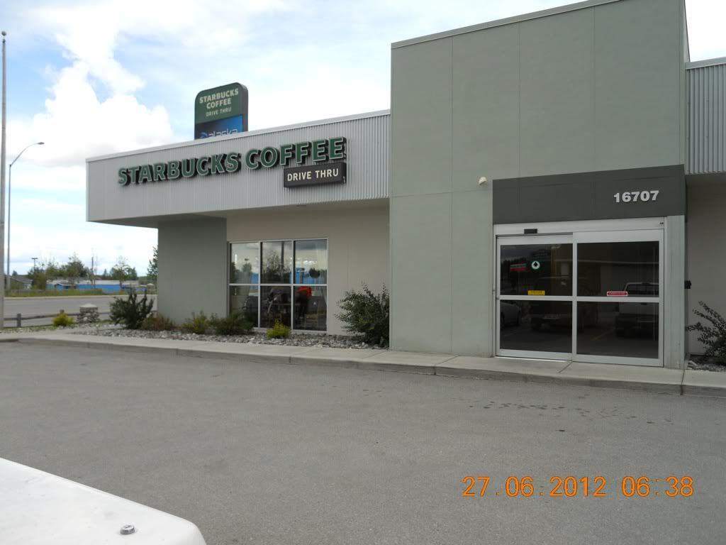
The return trip was a retrace of the previous day back to Anchorage to the culmination of our Alaskan tour where we stopped for coffee in Eagle River (between Anchorage and Palmer). What trip could be complete without a stop at a Starbucks!!
While Jane and i have been to Alaska several times touring in car, RV, and two motorcycle trips, but we only touched the surface. In the two trips we traveled about 3000 miles and covered a high percentage of the paved roads in Alaska, but there are thousands of square miles that call out to my more adventourous GS bretheren. It is interesting to note that Fairbanks, which is as far north I we have traveled is only about 1/3 of the way to a favorite destination, Prudhoe Bay on the Artic Ocean. Perhaps someday I will make that trip (Jane says that would be without her!!!) -- add that to the bucket-list